A three-dimensional view of the terrain
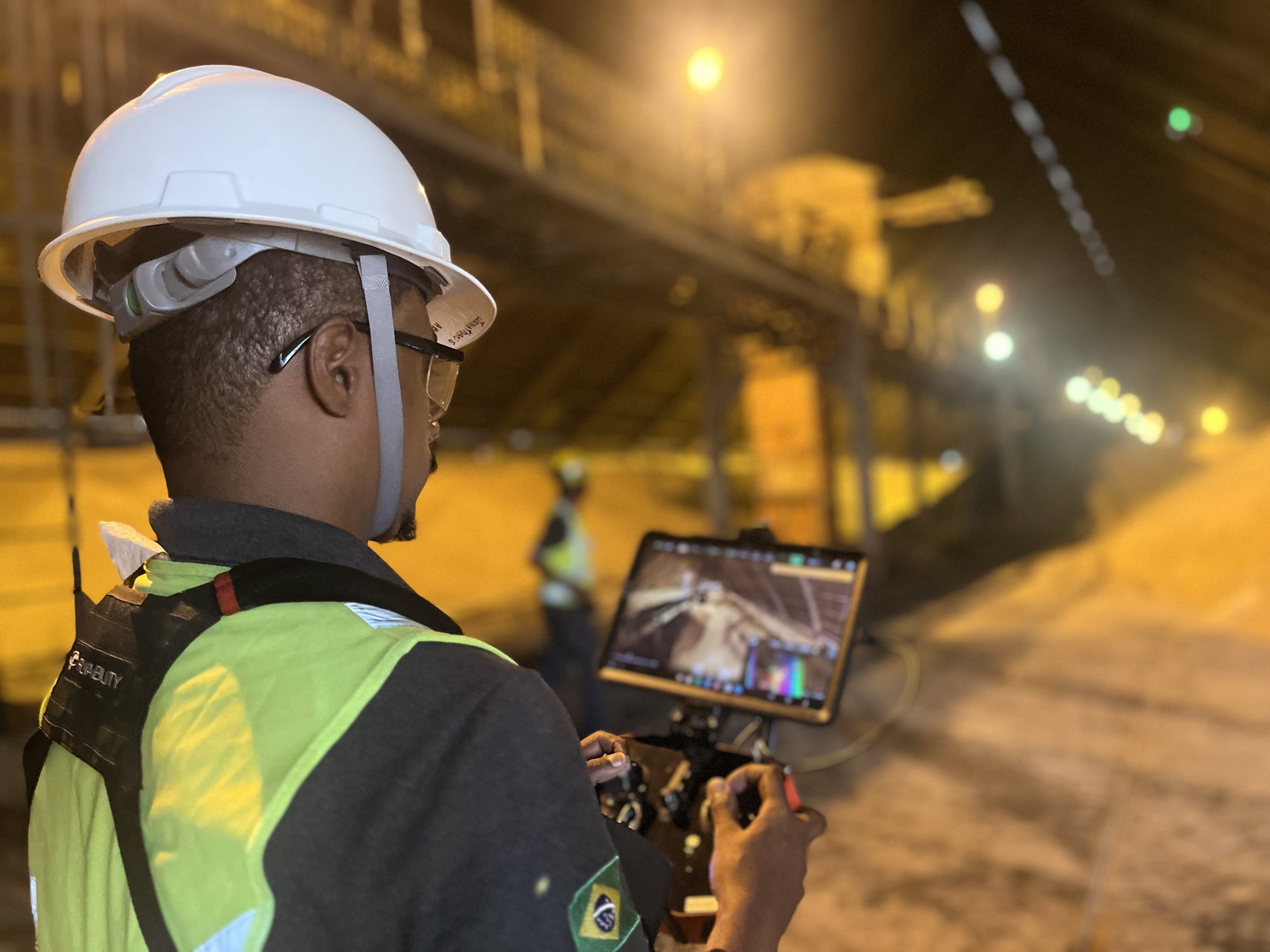
LiDAR measures distance using laser pulses and creates dense three-dimensional point sets for interpreting terrain, structures and vegetation.
Main applications
The value of the data depends on the technical objective and processing strategy.
- Digital terrain models
- Slopes, pits and mine faces
- Industrial plant mapping
- Volumetric inventories
- Geometric basis for engineering analysis
Technology with engineering context
A point cloud becomes useful information only when it is connected to project decisions and delivered with the required accuracy and reference system.
Need this expertise in your project?
Talk to CCMENG to assess your data, objectives and the most appropriate engineering approach.
Talk to a specialist↗