Grain in silos and warehouses
Stock geometry surveys to support inventory reconciliation and operational planning.

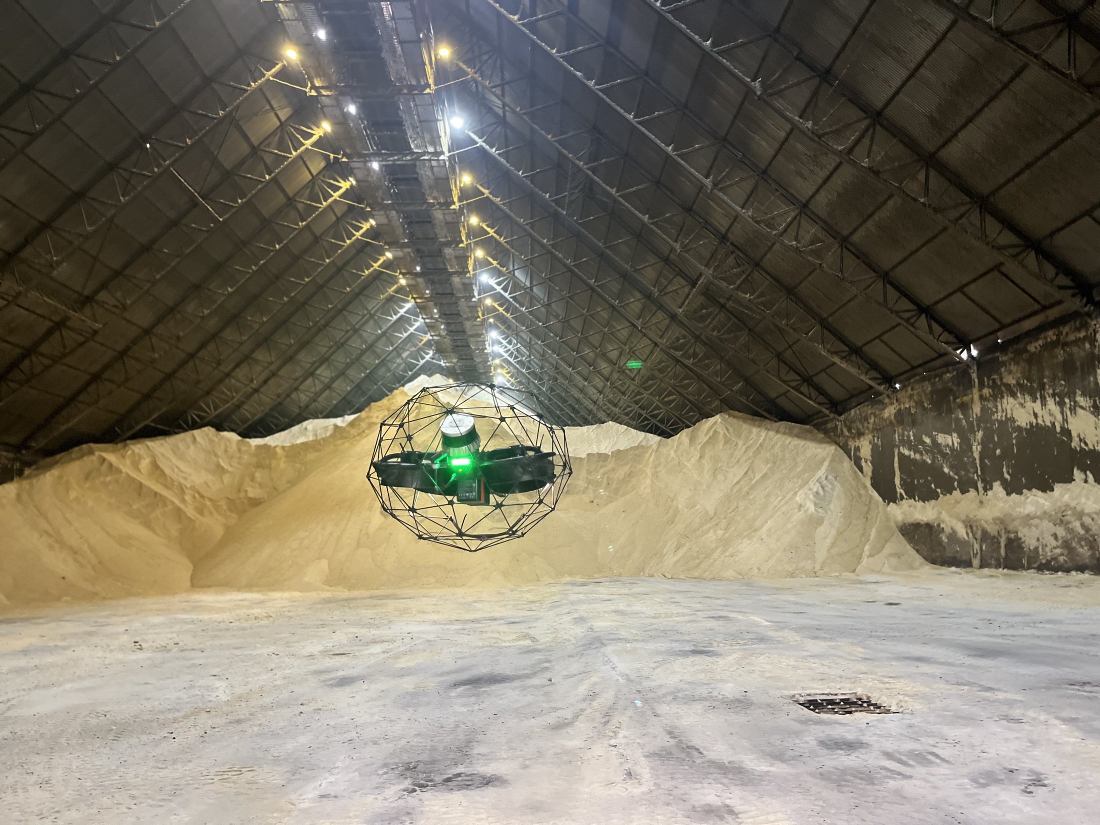
Grain, sugar and fertilizer inventory
Volumetric and mass measurement of bulk stock in silos, warehouses, sheds and piles using laser scanning, LiDAR, drones and auditable technical reports.
Overview
CCMENG measures grain, sugar, fertilizer, mineral and other bulk-material stock in silos, warehouses, sheds, terminals and piles.
The method combines laser scanning, LiDAR or drones with point-cloud processing and density parameters to calculate volume and mass with traceable technical criteria.
Request a quote↗Applications
Stock geometry surveys to support inventory reconciliation and operational planning.
Pile measurement in sheds and warehouses using point clouds and three-dimensional modeling.
Laser scanning, LiDAR or drone measurement selected for the structure and operating conditions.
What you receive
Let’s build together
Tell us about your project. CCM Engenharia is ready to understand your needs and recommend the next step.