Stockpile inventory
Drone or scanner data collection, 3D modeling and volumetric calculations.

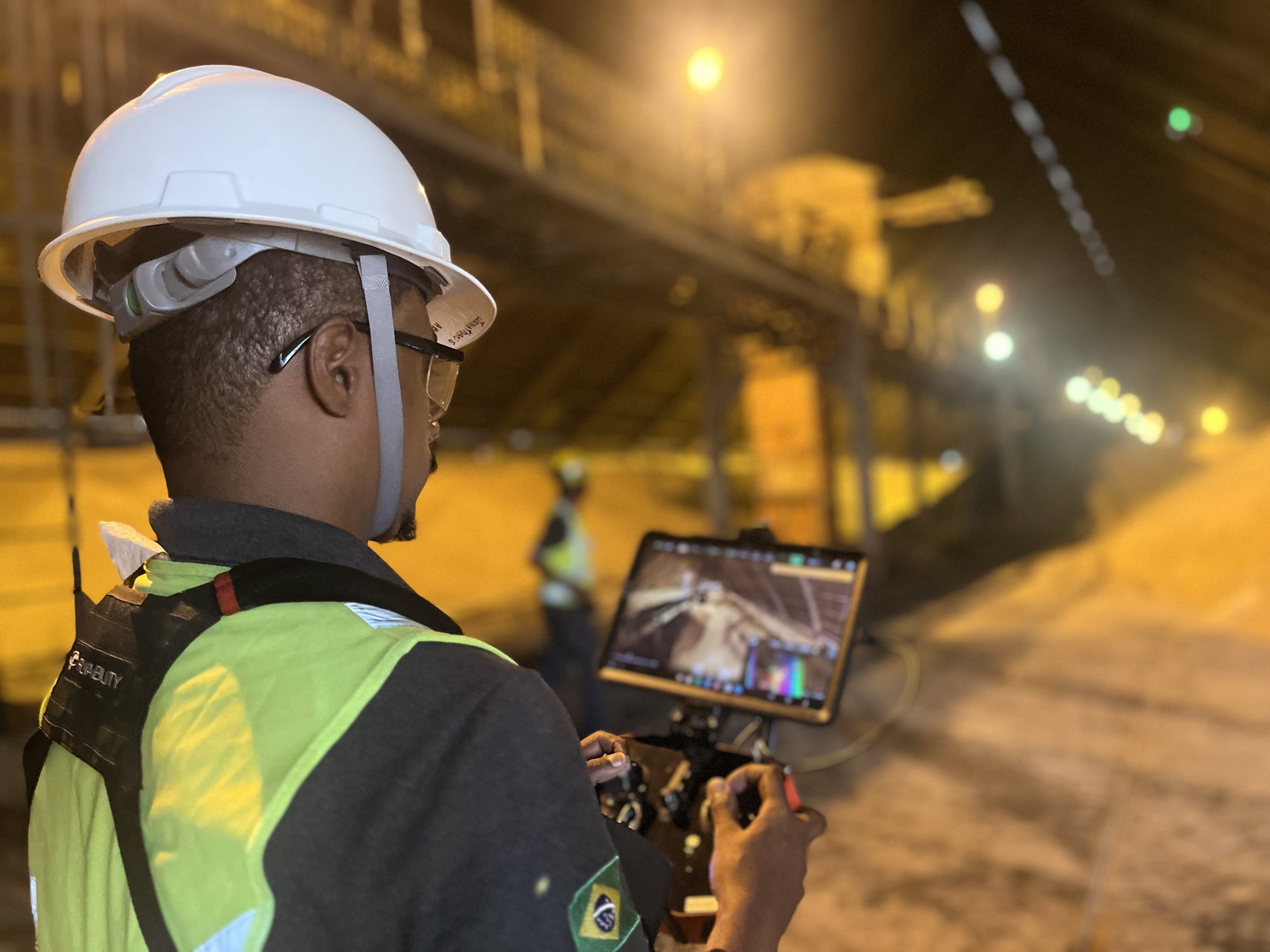
Precise data for mining, construction and industry
Topographic surveys with drones, LiDAR and 3D scanners for mines, construction sites, industrial plants and hard-to-reach areas.
Overview
CCMENG combines drones, LiDAR, laser scanning and field experience to deliver safe and efficient topographic surveys.
The resulting data supports decisions involving stockpiles, structures, vegetation, elevations, unstable areas and deformation monitoring.
Request a quote↗Applications
Drone or scanner data collection, 3D modeling and volumetric calculations.
High-resolution mapping of terrain, vegetation and structures.
Remote inspections with reduced operator exposure in complex environments.
What you receive
Let’s build together
Tell us about your project. CCM Engenharia is ready to understand your needs and recommend the next step.